Tuesday, February 26, 2013
Monday, February 25, 2013
Where is spring?
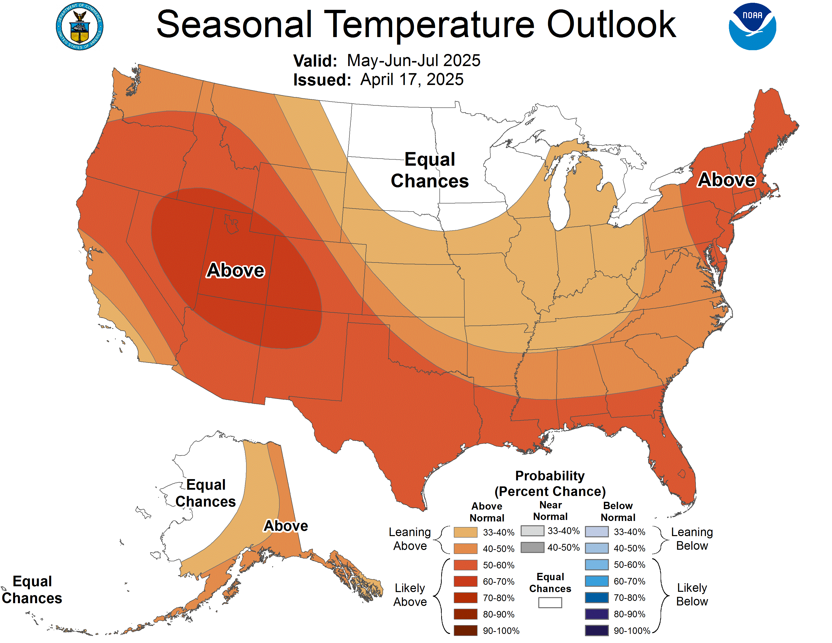
As we end the month of February and head for March, many people start looking toward (and thinking) spring. Looking at long range forecasts for the next few weeks, a stubborn trough over the eastern U.S. looks to dash our hopes at some nice spring weather at least for the next 2 weeks. This type of pattern, along with a negative NAO and a positive PNA (http://www.cpc.ncep.noaa.gov/products/precip/CWlink/daily_ao_index/teleconnections.shtml), is also more conducive for Nor'easters. At this point, the long range GFS model does try to have a few of these storms form through early March, but it is taking them out to sea with little effect on the U.S. This will be something that bears watching and for snow lovers, may be our last shot at a big snowstorm until next winter. The interesting thing is that the Climate Prediction Center (CPC) is forecasting above normal temperatures for the area in their 90 day forecast for March, April, and May.
I am by no means an expert in long range forecasting, but this could suggest that after a rough start to March, we may be in for some nicer weather heading toward April. If you're tired of winter (as I am), we can hope this forecast verifies...and that April and May end up giving us some excellent weather! The NAO is also forecast to go positive and the PNA negative as we head toward mid-March. This usually means milder weather for the eastern U.S.
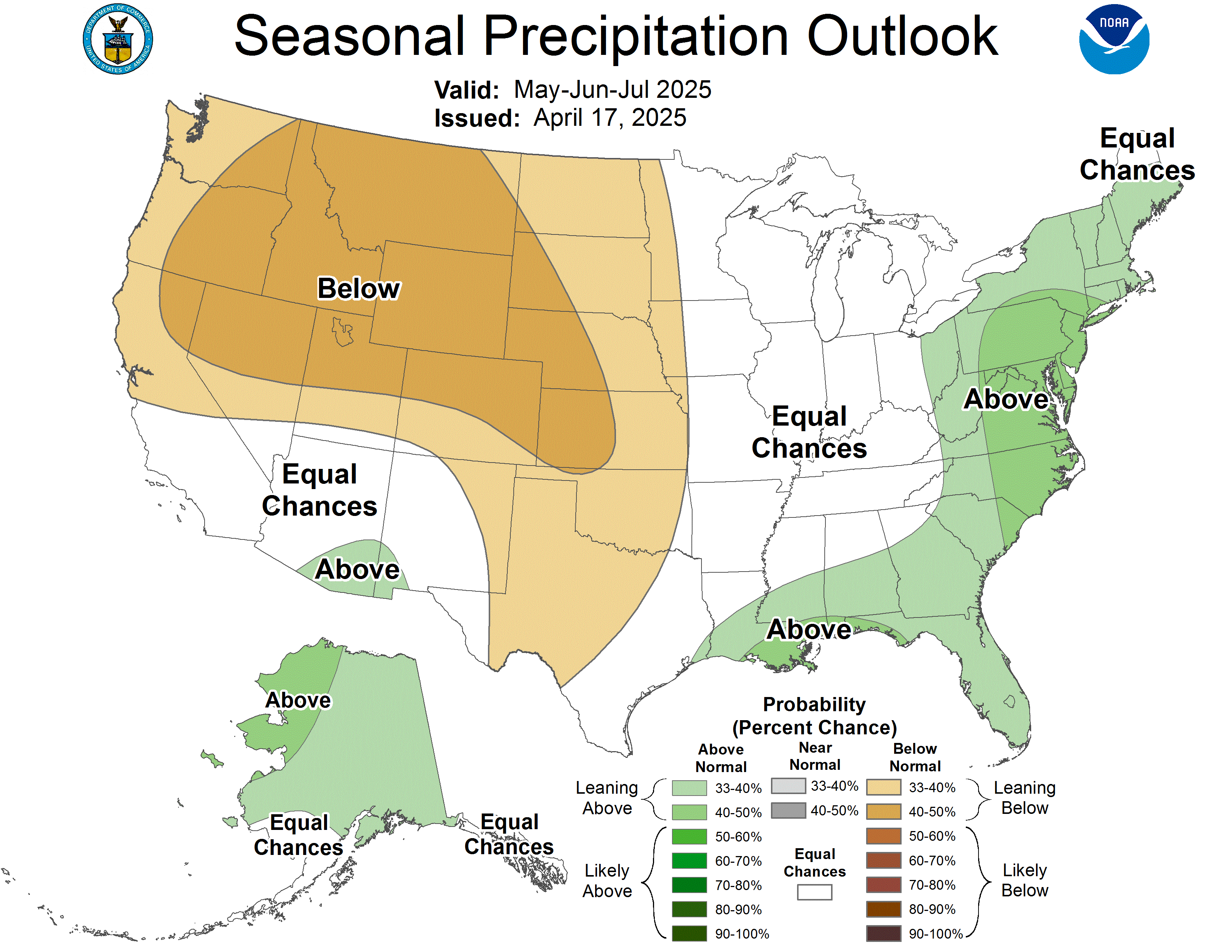
On a side note: The CPC has us at near normal precipitation for March-May here in the Mountain State.
Until next time, have a great day everyone!
Subscribe to:
Posts (Atom)

